January 2018, Leading Edge welcomed Lee County Mosquito Control District to their newly created, customized MapVision Enterprise system. Leading Edge provided on-site training and preparation for the live, enterprise-wide launch scheduled for late January. Over the course of the project, Lee County provided great feedback, while spending time working with their MapVision Enterprise platform and with the Tough Book and iPhone Apps that support the team in the field with adult trapping and larval inspection!
Other great features built into Lee County’s MapVision include:
- Aerial workflows and flight logs
- Aerial and ground adulticiding and larviciding workflows
- Truck trapping feature with baseline management tool
- New real time dashboard with key performance data
- Integration with their phone system for outbound notification calls to the public
- Advanced surveillance and lab workflows
- Back-check inspection workflow
- Sentinel and flock management system
Additionally, Leading Edge created many customized features, workflow, reports and have integrated our powerful business intelligence reporting tool!
Our sincere thanks to Lee County and the team who worked so diligently with Leading Edge to create a terrific system!
If you are interested in learning more about Leading Edge’s MapVision Enterprise system, please contact Mike Reynolds at MReynolds@LeaTeam.com or call (828) 246 2111.

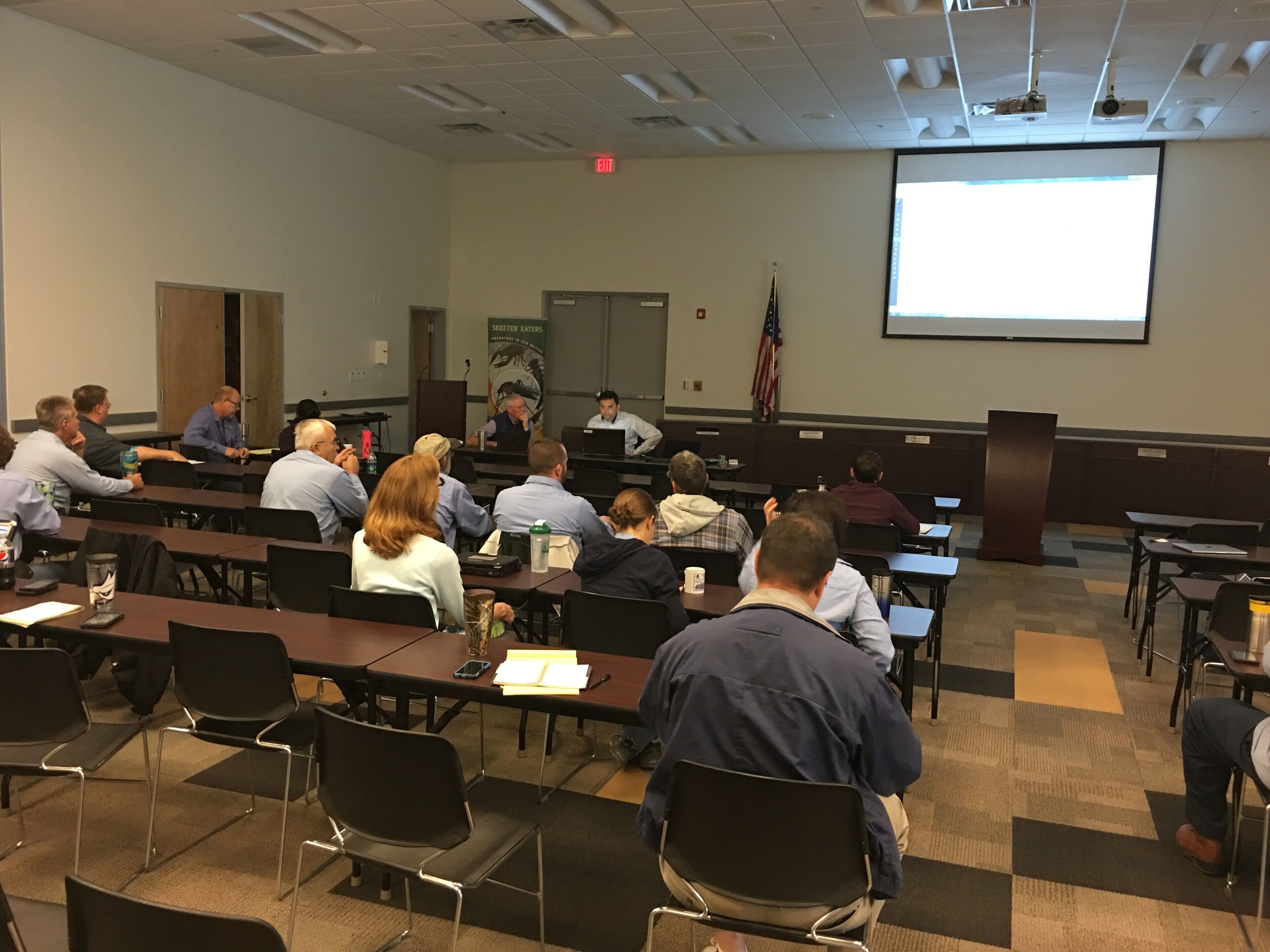
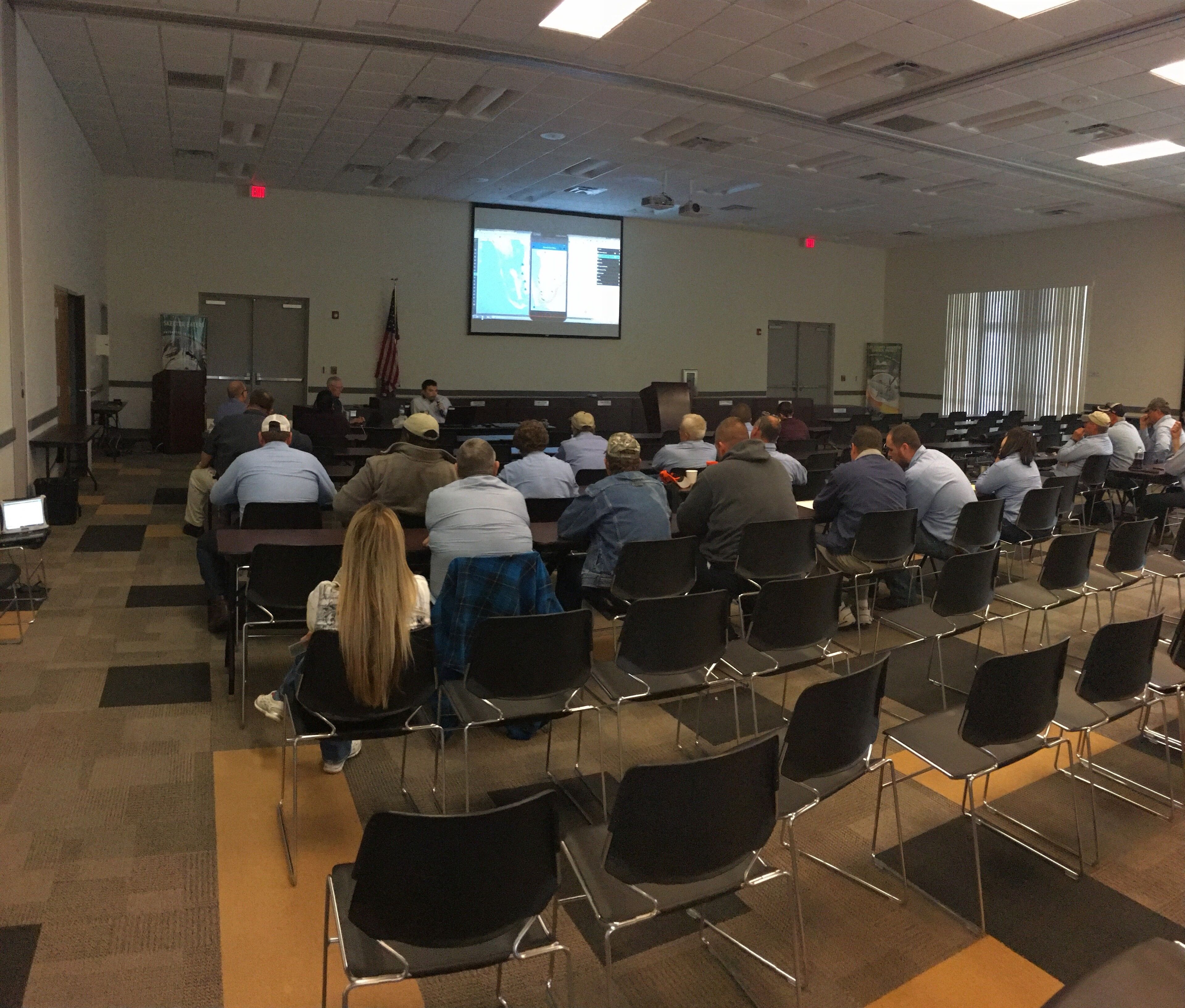
Lee County Mosquito Control Districts’ inspectors are trained on their new MapVision Enterprise system, MapVision Tough-book app and iPhone Trapping/Inspection app.

Working through numerous features of the new iPhone Inspection and Treatment app.

Inspectors learn about the numerous features of the MapVision Tough-book app for field use.
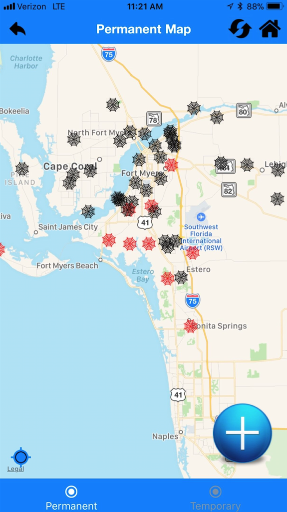
This is an image of the MapVision iPhone app displaying permanent traps in various stages. Red indicates a trap ready for collection.
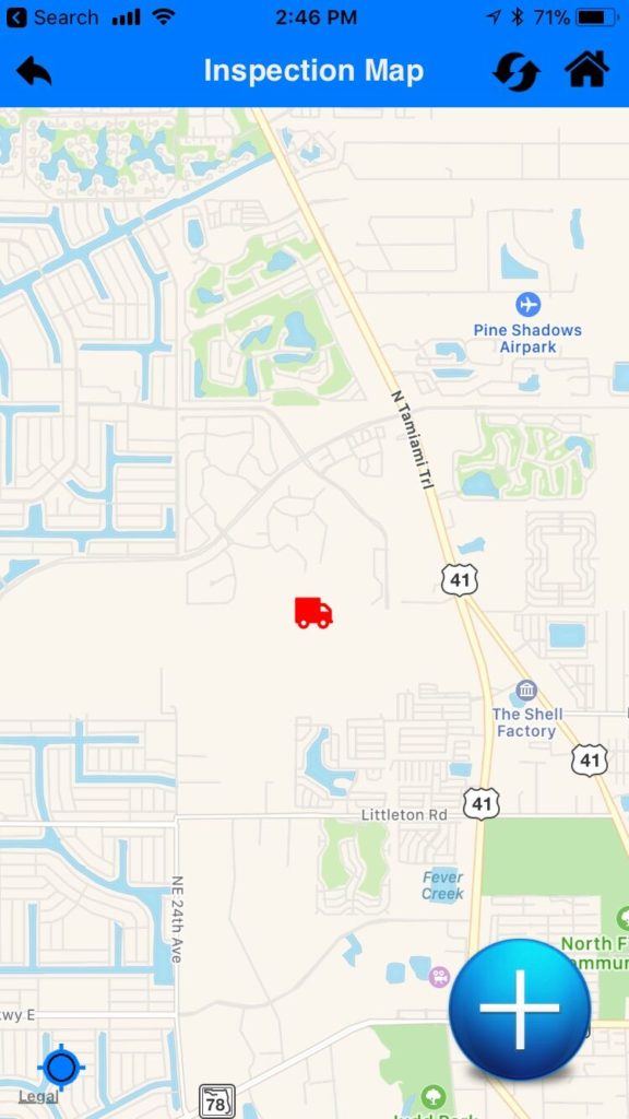
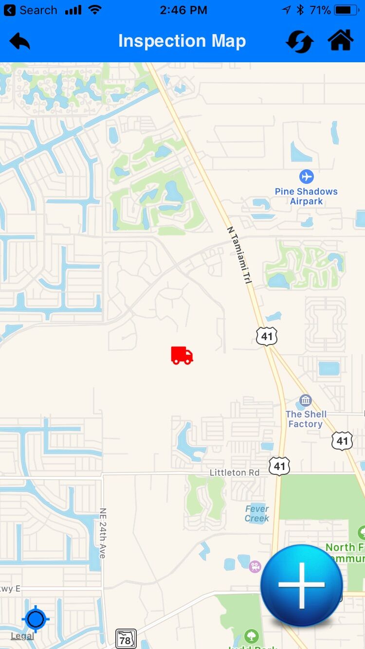
The MapVision iPhone Inspection app provides technicians the ability to load inspection locations and enter vital field data, which uploads to the MapVision Enterprise server in real time.